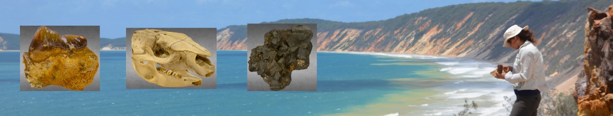
BACK TO VIRTUAL FIELD TRIP PAGE
Rock units here: Lamington Group (click here for Stratigraphic Database) Miocene
Guidance notes (things to be thinking about for your report)
1) What type of rock is this (lithology)? Characterise it using all the features you are able decide whether it is either sedimentary, igneous and metamorphic rocks and identify the rock as far as possible.
2) You may notice some rounded features in the rock. Make observations about their size and distribution. Are they all the way through the rock or just at the top? What do you think they are? What does that tell you?
3) You will notice some features that should be obvious in the headland and beneath the cliff and making up the small island. What do you think they are? What does this tell you?
4) Based upon the rock type, what was the environment in which it was laid down? How do you know this? What’s the most likely source of this rock?
5) Looking at the picture tour you can see an unusual shaped mountain in the distance. This is Mt Warning. How far away from this site is it on the map? What is the extent of this volcano and what does that tell you about its composition?
You will need to download the KMZ file here and run it in Google Earth to Measure the distance between this site and Mt Warning.
Fingal Heads (Lamingtons Group) Intro video
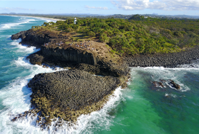
Fingal Heads (Lamingtons Group) Tour (click to access)
Fingal Heads (Lamingtons Group) Outcrop 3D model
Fingal Heads (Lamingtons Group) Outcrop 3D model
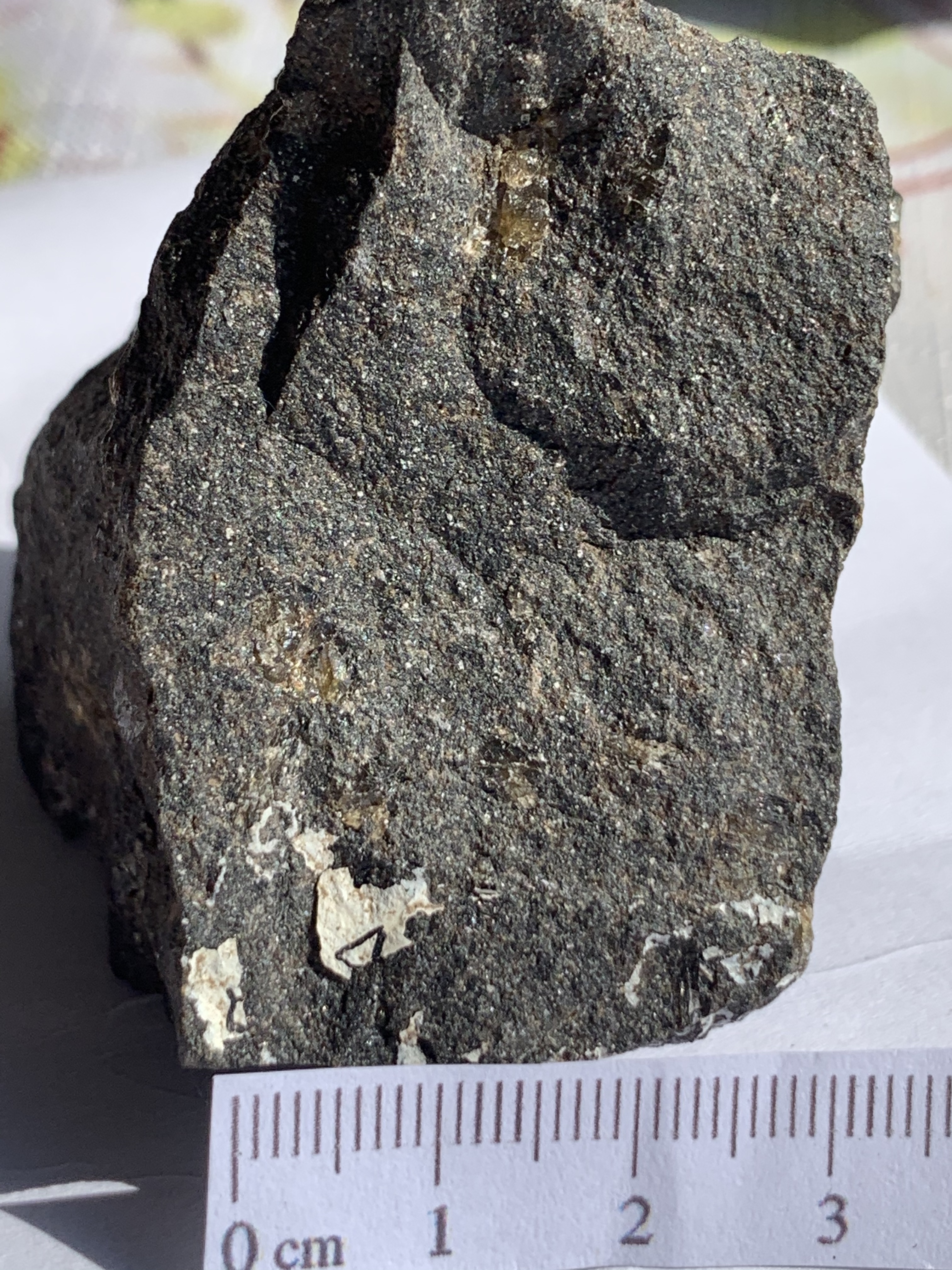
Fingal Heads (Lamingtons Group) Lithology