Click here for the usual rambling introduction.
Part 1: Volcanoes
1A + B. Getting to know volcanoes
We are going to use the Volcano Explorer program which you can access by clicking here. You will need to click on the play button to make it work. If you have any problems try using a different browser.
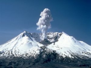
1C. Mt St Helens, northwestern USA
The day that Mt St Helens erupted in 1980.
1D. Realtime monitoring data from Mt St Helens
Real time monitoring data from Mt St Helens
1E. Morphology of lava flow
Here are some images and models from sites related to the North Atlantic Igneous Province
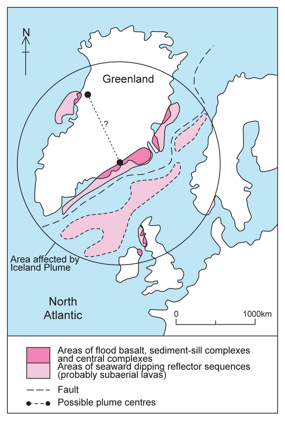 Location of the North Atlantic Igneous Province, an enormous outpouring of mafic lava more than 50 million years ago when the North Atlantic broke open. Click above for more information
 The Giants Causeway
1F. Undara Lava Tubes, north Queensland
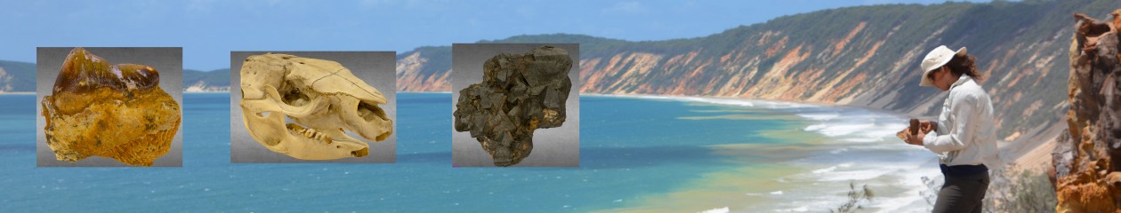
Undara is a field site for ‘Ice Age’ vertebrate palaeontological research carried out at UQ. For a ‘pop-science’ article about Undara and its fossils, see here. The full reference is: Price, G.J. and Wood, E. 2014. Undara: a legacy in lava. The Annual Publication of Australian Age of Dinosaurs Museum of Natural History. 11: 36-51.
Part 2: Earthquakes
2A. Reading seismograms

Click on the link for Beerwah High School Data
Click here if you need help reading this data
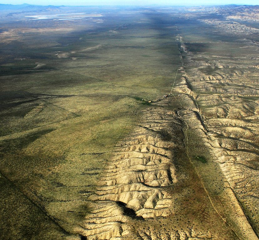
2B. Haywards Fault, California
Earthquakes in the past
 Useful information about the San Andreas Fault
KMZ file of the Hayward Fault for viewing in Google Earth
Download Google Earth Pro for your computer here and open the file using File/ Open.
How to open the KMZ file
Earthquakes in the future